
Cold Front Cuts SoCo Temps
Gusts up to 45 mph and up to three-quarters of an inch of rain are expected as tropical moisture meets a sharp drop in temperature.
By Jason Kovalenko ·
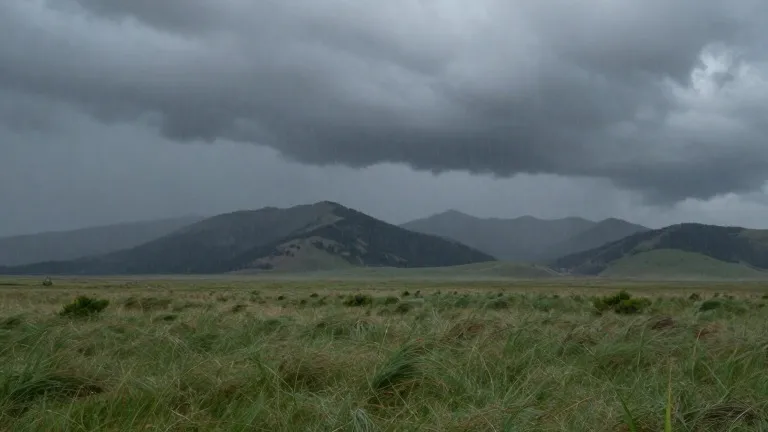
A cold front crosses early Saturday, driving a 10 to 15 degree temperature drop across southern Colorado. The system brings strong winds and heavy rain, shifting the region from above-average warmth to below-average conditions.
Friday begins relatively mild. Colorado Springs is forecast to reach 73 degrees after a 51-degree low, while Pueblo will top out at 81 degrees. Woodland Park remains warmer than seasonal averages, with a high of 56 degrees. These temperatures will not last long.
Wind speeds are set to increase as the front approaches. Forecasters expect gusts between 40 and 45 mph to sweep through the area from Friday into the weekend. These conditions accompany a new push of tropical moisture moving east into the state.
Rainfall totals will vary by location. Accumulations across the region are projected to range from 0.10 inches to 0.75 inches. The plains may see decent rainfall as temperatures fall, while intermittent showers are expected in the Pikes Peak Region and Pueblo County.
Conditions in the western mountains remain hazardous. Heavy rain continues in the San Juan Mountains and the southwestern corner of the state. Flood watches, severe thunderstorm watches, and specific flood warnings are currently in effect for these areas.
The combination of cold air and moisture changes the precipitation type. Snow levels are expected to drop after the front passes. This shift may bring cold rain and possible snow to higher elevations during the weekend.
The wet weather is temporary. The extended outlook indicates a drier pattern for next week. Temperatures are expected to return to seasonal levels once the system fully exits the region.
More News · Colorado Springs news · Report a business · Got a Story?