Pacific Northwest Weather: Rain Breaks Before New System Arrives
Residents can expect a dry stretch Wednesday and Thursday before another wet front moves in for the weekend.
By Tyler Khalil ·
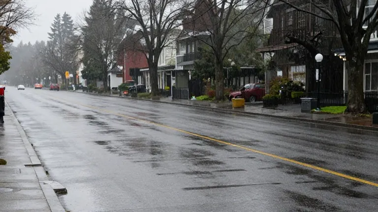
Rain chances will decrease across the region today, offering a temporary reprieve from persistent precipitation. While morning conditions may still require waterproof gear, the steady downpour that has dominated the schedule is expected to taper off before the next system arrives.
A new round of wet weather will return tomorrow. Forecasters predict the heaviest rain will fall between midday and early evening. A similar pattern is expected on Tuesday, with rain likely to impact afternoon and evening commutes in the Portland metro area and the Willamette Valley.
Accumulations are projected to reach approximately half an inch in central locations. The Astoria area could see up to one inch of rain. Locations farther south along the coast are expected to receive lighter totals during this two-day event.
Weather conditions will improve significantly Wednesday and into early Thursday. This midweek window provides the best opportunity for residents to complete outdoor tasks or travel before rain chances rise again. The break in precipitation will allow the ground to dry slightly before the next system approaches.
Rain will return Friday and continue through Saturday. The forecast indicates another full weekend of wet conditions. As repeated rounds of rain saturate the soil, officials are monitoring runoff levels in local rivers. Increased saturation can lead to higher water levels, prompting a close watch on rainfall totals for potential flooding risks.